
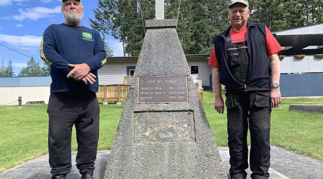
Hoskyn Channel is the body of water separating Read and Quadra Islands. It is named after Richard Hoskyn, a Royal Navy officer who retired in 1867. In 1999, a group of about ten families and Marine Harvest purchased a net cleaning barge-float for $2,850. Five years later, Regional Director Jim Abram secured a lease on the 0.8 acre Quadra Island dock site. The SRD provided $10,000 to have a ramp built, but the work was done by volunteers. On November 15, 2019, Paul Grey, President of BC Marine Trails (BCMT) informed the SRD “the Hoskyn Channel Launch is steep and requires a four-wheel drive.”
Continue reading Hoskyn Channel LandingTag Archives: North Island
More Theft During COVID
National Observer, Local Journalism Initiative Reporter
Quadra Island RCMP says four times as many thefts have been reported to police compared to this same time last year.
Cpl. Sean Bulford, Quadra Island RCMP detachment commander, said the overall numbers aren’t high but the rate of the increase is significant.
“Percentage wise, it’s a large increase in a place like this,” said Bulford on Wednesday.
Continue reading More Theft During COVID
SRD Soon To Reopen Remaining Regional Parks & Facilities
In response to the COVID pandemic, on April 8, the Government of British Columbia closed all provincial parks – but most regional parks within the Strathcona Regional District (SRD) remained open. Now, as the provincial government is opening parks up throughout British Columbia, the SRD is working on its own plan to reopen remaining regional parks & facilities for public use.
Read moreas
Some Quadra Students Head back to school
National Observer, Local Journalism Initiative Reporter
Students can head back to school on a voluntary basis starting June 1, as the first step in a graduated return to full-time classes in the fall, B.C. Premier John Horgan announced Friday.
But Quadra Island parents’ reactions to the plan run the gamut from outright rejection to wholehearted acceptance of the offer to have kids head back to class.
Continue reading Some Quadra Students Head back to school
What The Map At Global Forest Watch Reveals About Our Area
More than 4 million people have visited the Global Forest Watch website since it was launched in 2014. The interactive map uses satellite imagery to depict changes in the forest cover in red (loss) and blue (gains). (The green areas are forested.) Some of the The website uses recent satellite data. The map at the top of this page shows the changes in our area between 2001 and May 8, 2020, when Landsat 8 passed over.
Continue reading What The Map At Global Forest Watch Reveals About Our Area